 vesseltracker.com
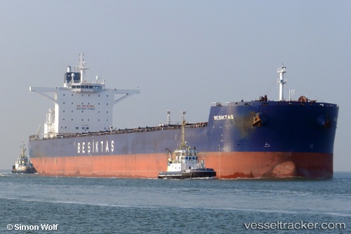
Vessel Sunny Star IMO: 9461300, MMSI: 356826000 Bulk Carrier
UTC, 37.57742, 121.39166, course: 270, speed: 0
UTC, 37.57738, 121.39164, course: 270, speed: 0.1
2026-01-31 04:04:33 UTC, 37.57746, 121.39182, course: 270, speed: 0
Live AIS position:
UTC. Near Yantai),
updated 2026-01-31 04:04:33 UTC.
Find the position of the vessel Sunny Star on the map. The latter are known coordinates and path.
marine traffic ship tracker show on live map
The current position of vessel Sunny Star is 37.57746 lat / 121.39182 lng. Updated: 2026-01-31 04:04:33 UTCCurrently sailing under the flag of Panama
Sunny Star built in 2011 year
Deadweight:
179843 tDetails:
Last coordinates of the vessel:
UTC, 37.57742, 121.39160, course: 270, speed: 0UTC, 37.57742, 121.39166, course: 270, speed: 0
UTC, 37.57738, 121.39164, course: 270, speed: 0.1
2026-01-31 04:04:33 UTC, 37.57746, 121.39182, course: 270, speed: 0