 vesseltracker.com
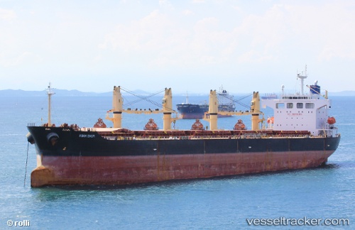
Vessel Chang Min IMO: 9240811, MMSI: 357723000 Bulk Carrier
UTC, 26.97486, 34.56030, course: 327, speed: 11.4
UTC, 27.07669, 34.49072, course: 323, speed: 11.4
2026-02-21 10:07:13 UTC, 27.51368, 34.14908, course: 318, speed: 11.2
Live AIS position:
UTC. 22 nm S of Sharm ash Shaykh),
updated 2026-02-21 10:07:13 UTC.
Find the position of the vessel Chang Min on the map. The latter are known coordinates and path.
marine traffic ship tracker show on live map
The current position of vessel Chang Min is 27.51368 lat / 34.14908 lng. Updated: 2026-02-21 10:07:13 UTCDetails:
Last coordinates of the vessel:
UTC, 26.48372, 34.90216, course: 328, speed: 12UTC, 26.97486, 34.56030, course: 327, speed: 11.4
UTC, 27.07669, 34.49072, course: 323, speed: 11.4
2026-02-21 10:07:13 UTC, 27.51368, 34.14908, course: 318, speed: 11.2