 vesseltracker.com
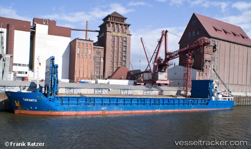
Vessel ALYA IMO: 9133513, MMSI: 357890000 General Cargo Ship
UTC, 11.75449, -15.70514, course: 65, speed: 10.3
UTC, 11.83526, -15.57005, course: 211, speed: 0.5
2026-02-20 15:59:35 UTC, 11.83384, -15.57146, course: 48, speed: 0
Live AIS position:
UTC. Near Bissau),
updated 2026-02-20 15:59:35 UTC.
Find the position of the vessel ALYA on the map. The latter are known coordinates and path.
marine traffic ship tracker show on live map
The current position of vessel ALYA is 11.83384 lat / -15.57146 lng. Updated: 2026-02-20 15:59:35 UTCCurrently sailing under the flag of Panama
ALYA built in 1995 year
Deadweight:
3005 tDetails:
Last coordinates of the vessel:
UTC, 11.69999, -15.97654, course: 101, speed: 10.4UTC, 11.75449, -15.70514, course: 65, speed: 10.3
UTC, 11.83526, -15.57005, course: 211, speed: 0.5
2026-02-20 15:59:35 UTC, 11.83384, -15.57146, course: 48, speed: 0