 vesseltracker.com
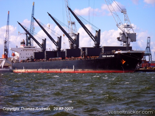
Vessel Alex A IMO: 9254836, MMSI: 357968000 Bulk Carrier
UTC, 26.49164, 56.31896, course: 60, speed: 8.3
UTC, 26.50073, 56.59608, course: 154, speed: 8.2
2026-02-28 13:39:04 UTC, 26.32517, 56.71485, course: 168, speed: 7
Live AIS position:
UTC. 19 nm SE of Quoin Island),
updated 2026-02-28 13:39:04 UTC.
Find the position of the vessel Alex A on the map. The latter are known coordinates and path.
marine traffic ship tracker show on live map
The current position of vessel Alex A is 26.32517 lat / 56.71485 lng. Updated: 2026-02-28 13:39:04 UTCCurrently sailing under the flag of Panama
Alex A built in 2002 year
Deadweight:
50399 tDetails:
Last coordinates of the vessel:
UTC, 26.39420, 56.11552, course: 62, speed: 8.7UTC, 26.49164, 56.31896, course: 60, speed: 8.3
UTC, 26.50073, 56.59608, course: 154, speed: 8.2
2026-02-28 13:39:04 UTC, 26.32517, 56.71485, course: 168, speed: 7