 vesseltracker.com
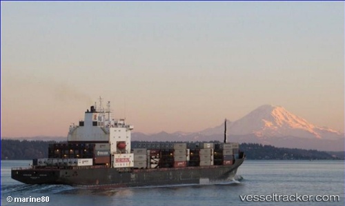
Vessel Matson Kodiak IMO: 8419166, MMSI: 366793000 Container Ship
UTC, 57.48626, -145.74921, course: 298, speed: 19.3
UTC, 57.66882, -146.36867, course: 299, speed: 18.7
2026-01-31 18:24:56 UTC, 58.10385, -147.85532, course: 300, speed: 17.4
Live AIS position:
UTC. 129 nm SE of Seward),
updated 2026-01-31 18:24:56 UTC.
Find the position of the vessel Matson Kodiak on the map. The latter are known coordinates and path.
marine traffic ship tracker show on live map
The current position of vessel Matson Kodiak is 58.10385 lat / -147.85532 lng. Updated: 2026-01-31 18:24:56 UTCCurrently sailing under the flag of USA
Matson Kodiak built in 1987 year
Deadweight:
20668 tDetails:
Last coordinates of the vessel:
UTC, 57.08697, -144.43826, course: 299, speed: 18.8UTC, 57.48626, -145.74921, course: 298, speed: 19.3
UTC, 57.66882, -146.36867, course: 299, speed: 18.7
2026-01-31 18:24:56 UTC, 58.10385, -147.85532, course: 300, speed: 17.4