 vesseltracker.com
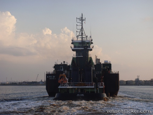
Vessel Sea Hawk IMO: 9256846, MMSI: 366843420 Pusher Tug
UTC, 40.64118, -74.16467, course: 187, speed: 0
UTC, 40.64123, -74.16467, course: 187, speed: 0
2026-02-17 14:28:06 UTC, 40.64120, -74.16467, course: 188, speed: 0
Live AIS position:
UTC. Near Port Ivory/Staten Isl/New York),
updated 2026-02-17 14:28:06 UTC.
Find the position of the vessel Sea Hawk on the map. The latter are known coordinates and path.
marine traffic ship tracker show on live map
The current position of vessel Sea Hawk is 40.64120 lat / -74.16467 lng. Updated: 2026-02-17 14:28:06 UTCCurrently sailing under the flag of USA
Details:
Last coordinates of the vessel:
UTC, 40.64117, -74.16461, course: 187, speed: 0UTC, 40.64118, -74.16467, course: 187, speed: 0
UTC, 40.64123, -74.16467, course: 187, speed: 0
2026-02-17 14:28:06 UTC, 40.64120, -74.16467, course: 188, speed: 0