 vesseltracker.com
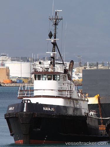
Vessel NAVAJO IMO: 7409578, MMSI: 367008770 Tug
UTC, 20.85500, -157.17500, course: -1, speed: 8
UTC, 20.74523, -157.05693, course: 135, speed: 9.2
2026-03-03 06:23:04 UTC, 20.64211, -156.58443, course: 98, speed: 9.5
Live AIS position:
UTC. Near Wailea),
updated 2026-03-03 06:23:04 UTC.
Find the position of the vessel NAVAJO on the map. The latter are known coordinates and path.
marine traffic ship tracker show on live map
The current position of vessel NAVAJO is 20.64211 lat / -156.58443 lng. Updated: 2026-03-03 06:23:04 UTCCurrently sailing under the flag of United States
Details:
Last coordinates of the vessel:
UTC, 21.06138, -157.51755, course: 113, speed: 9.6UTC, 20.85500, -157.17500, course: -1, speed: 8
UTC, 20.74523, -157.05693, course: 135, speed: 9.2
2026-03-03 06:23:04 UTC, 20.64211, -156.58443, course: 98, speed: 9.5