 vesseltracker.com
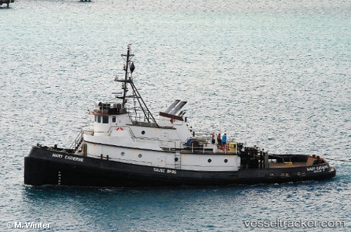
Vessel Mary Catherine IMO: 7209435, MMSI: 367080250 Tug
Live AIS position:
UTC. 24 nm NE of Coos Bay),
updated 2024-06-26 22:40:43 UTC.
Find the position of the vessel Mary Catherine on the map. The latter are known coordinates and path.
marine traffic ship tracker show on live map
The current position of vessel Mary Catherine is 43.71570 lat / -124.10112 lng. Updated: 2024-06-26 22:40:43 UTCDetails:
Last coordinates of the vessel:
2024-06-26 22:40:43 UTC, 43.71570, -124.10112, course: 172, speed: 0