 vesseltracker.com
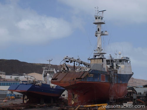
Vessel Cape Finisterre IMO: 7912094, MMSI: 367133000 Fishing Vessel
UTC, -14.27616, -170.68279, course: 271, speed: 0
UTC, -14.27618, -170.68277, course: 270, speed: 0
2026-02-06 23:41:32 UTC, -14.27606, -170.68677, course: 256, speed: 0.6
Live AIS position:
UTC. Near Pago Pago),
updated 2026-02-06 23:41:32 UTC.
Find the position of the vessel Cape Finisterre on the map. The latter are known coordinates and path.
marine traffic ship tracker show on live map
The current position of vessel Cape Finisterre is -14.27606 lat / -170.68677 lng. Updated: 2026-02-06 23:41:32 UTCDetails:
Last coordinates of the vessel:
UTC, -14.27617, -170.68279, course: 269, speed: 0UTC, -14.27616, -170.68279, course: 271, speed: 0
UTC, -14.27618, -170.68277, course: 270, speed: 0
2026-02-06 23:41:32 UTC, -14.27606, -170.68677, course: 256, speed: 0.6