 vesseltracker.com
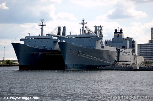
Vessel Antares IMO: 7226897, MMSI: 367185000 Vehicles Carrier
UTC, 47.26910, -122.41613, course: 318, speed: 0
UTC, 47.26915, -122.41615, course: 319, speed: 0
2026-01-29 17:39:09 UTC, 47.26918, -122.41603, course: 319, speed: 0
Live AIS position:
UTC. Near Tacoma),
updated 2026-01-29 17:39:09 UTC.
Find the position of the vessel Antares on the map. The latter are known coordinates and path.
marine traffic ship tracker show on live map
The current position of vessel Antares is 47.26918 lat / -122.41603 lng. Updated: 2026-01-29 17:39:09 UTCCurrently sailing under the flag of USA
Antares built in 1972 year
Deadweight:
24601 tDetails:
Last coordinates of the vessel:
UTC, 47.26925, -122.41618, course: 318, speed: 0UTC, 47.26910, -122.41613, course: 318, speed: 0
UTC, 47.26915, -122.41615, course: 319, speed: 0
2026-01-29 17:39:09 UTC, 47.26918, -122.41603, course: 319, speed: 0