 vesseltracker.com
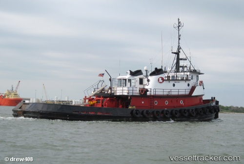
Vessel Crosby Trojan IMO: 8213017, MMSI: 367461370 Tug
UTC, 29.74164, -93.89149, course: -1, speed: 0
UTC, 29.74164, -93.89144, course: -1, speed: 0
2026-02-06 19:33:14 UTC, 29.74166, -93.89147, course: -1, speed: 0
Live AIS position:
UTC. Near SABINE PASS),
updated 2026-02-06 19:33:14 UTC.
Find the position of the vessel Crosby Trojan on the map. The latter are known coordinates and path.
marine traffic ship tracker show on live map
The current position of vessel Crosby Trojan is 29.74166 lat / -93.89147 lng. Updated: 2026-02-06 19:33:14 UTCDetails:
Last coordinates of the vessel:
UTC, 29.74165, -93.89149, course: -1, speed: 0UTC, 29.74164, -93.89149, course: -1, speed: 0
UTC, 29.74164, -93.89144, course: -1, speed: 0
2026-02-06 19:33:14 UTC, 29.74166, -93.89147, course: -1, speed: 0