 vesseltracker.com
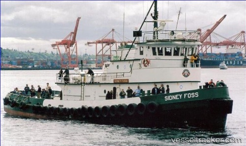
Vessel Richard O IMO: 7626190, MMSI: 368010320 Tug
UTC, 45.62269, -122.78838, course: 3, speed: 0
UTC, 45.62272, -122.78842, course: 3, speed: 0
2026-01-31 07:59:36 UTC, 45.62276, -122.78829, course: 3, speed: 0
Live AIS position:
UTC. Near Rivergate),
updated 2026-01-31 07:59:36 UTC.
Find the position of the vessel Richard O on the map. The latter are known coordinates and path.
marine traffic ship tracker show on live map
The current position of vessel Richard O is 45.62276 lat / -122.78829 lng. Updated: 2026-01-31 07:59:36 UTCCurrently sailing under the flag of USA
Richard O built in 1976 year
Details:
Last coordinates of the vessel:
UTC, 45.62271, -122.78841, course: 2, speed: 0UTC, 45.62269, -122.78838, course: 3, speed: 0
UTC, 45.62272, -122.78842, course: 3, speed: 0
2026-01-31 07:59:36 UTC, 45.62276, -122.78829, course: 3, speed: 0