 vesseltracker.com
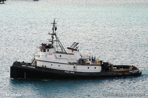
Vessel HARRIET O IMO: 7209435, MMSI: 368375470 Tug
UTC, 53.89500, -166.53333, course: -1, speed: 0
UTC, 53.89500, -166.53333, course: -1, speed: 0
2026-02-27 11:49:40 UTC, 53.89500, -166.53333, course: -1, speed: 0
Live AIS position:
UTC. Near Dutch Harbor),
updated 2026-02-27 11:49:40 UTC.
Find the position of the vessel HARRIET O on the map. The latter are known coordinates and path.
marine traffic ship tracker show on live map
The current position of vessel HARRIET O is 53.89500 lat / -166.53333 lng. Updated: 2026-02-27 11:49:40 UTCCurrently sailing under the flag of United States
Details:
Last coordinates of the vessel:
UTC, 53.89684, -166.53397, course: 100, speed: 0.1UTC, 53.89500, -166.53333, course: -1, speed: 0
UTC, 53.89500, -166.53333, course: -1, speed: 0
2026-02-27 11:49:40 UTC, 53.89500, -166.53333, course: -1, speed: 0