 vesseltracker.com
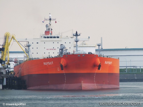
Vessel Raysut IMO: 9402225, MMSI: 370066000 Crude Oil Tanker
UTC, 36.00875, -30.29123, course: 48, speed: 10.3
UTC, 36.19452, -30.03285, course: 46, speed: 10.4
2026-02-13 15:32:50 UTC, 36.36395, -29.79693, course: 49, speed: 10.7
Live AIS position:
UTC. 142 nm SW of Lajes),
updated 2026-02-13 15:32:50 UTC.
Find the position of the vessel Raysut on the map. The latter are known coordinates and path.
marine traffic ship tracker show on live map
The current position of vessel Raysut is 36.36395 lat / -29.79693 lng. Updated: 2026-02-13 15:32:50 UTCCurrently sailing under the flag of Panama
Raysut built in 2009 year
Deadweight:
114995 tDetails:
Last coordinates of the vessel:
UTC, 35.74087, -30.66615, course: 44, speed: 10.9UTC, 36.00875, -30.29123, course: 48, speed: 10.3
UTC, 36.19452, -30.03285, course: 46, speed: 10.4
2026-02-13 15:32:50 UTC, 36.36395, -29.79693, course: 49, speed: 10.7