 vesseltracker.com
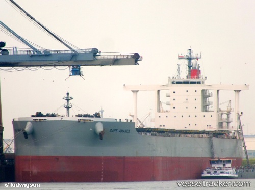
Vessel Cape Amanda IMO: 9552410, MMSI: 370572000 Bulk Carrier
UTC, -20.58442, 117.18109, course: 43, speed: 0
UTC, -20.47869, 117.28329, course: 72, speed: 9.9
2026-02-14 13:52:33 UTC, -20.19844, 117.40946, course: 350, speed: 12
Live AIS position:
UTC. 22 nm NE of Port Walcot),
updated 2026-02-14 13:52:33 UTC.
Find the position of the vessel Cape Amanda on the map. The latter are known coordinates and path.
marine traffic ship tracker show on live map
The current position of vessel Cape Amanda is -20.19844 lat / 117.40946 lng. Updated: 2026-02-14 13:52:33 UTCDetails:
Last coordinates of the vessel:
UTC, -20.58445, 117.18107, course: 43, speed: 0UTC, -20.58442, 117.18109, course: 43, speed: 0
UTC, -20.47869, 117.28329, course: 72, speed: 9.9
2026-02-14 13:52:33 UTC, -20.19844, 117.40946, course: 350, speed: 12