 vesseltracker.com
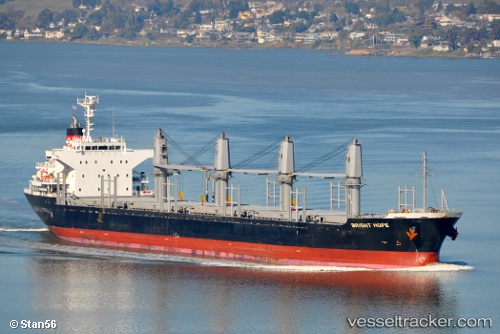
Vessel Bright Hope IMO: 9573945, MMSI: 371117000 Bulk Carrier
UTC, 0.77577, 117.83211, course: 109, speed: 0
UTC, 0.78002, 117.81380, course: 59, speed: 0.1
2026-02-15 11:14:44 UTC, 0.78006, 117.81386, course: 59, speed: 0
Live AIS position:
UTC. Near LUBUKTUTUNG),
updated 2026-02-15 11:14:44 UTC.
Find the position of the vessel Bright Hope on the map. The latter are known coordinates and path.
marine traffic ship tracker show on live map
The current position of vessel Bright Hope is 0.78006 lat / 117.81386 lng. Updated: 2026-02-15 11:14:44 UTCDetails:
Last coordinates of the vessel:
UTC, 0.77572, 117.83226, course: 103, speed: 0.2UTC, 0.77577, 117.83211, course: 109, speed: 0
UTC, 0.78002, 117.81380, course: 59, speed: 0.1
2026-02-15 11:14:44 UTC, 0.78006, 117.81386, course: 59, speed: 0