 vesseltracker.com
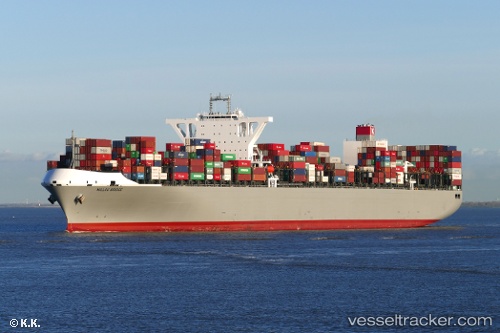
Vessel Millau Bridge IMO: 9706736, MMSI: 371215000 Container Ship
UTC, -8.86895, 75.16899, course: 54, speed: 13.3
UTC, -8.52575, 75.63552, course: 54, speed: 13.5
2026-02-21 23:21:41 UTC, -8.34352, 75.87513, course: 52, speed: 13.4
Live AIS position:
UTC. 212 nm E of Diego Garcia),
updated 2026-02-21 23:21:41 UTC.
Find the position of the vessel Millau Bridge on the map. The latter are known coordinates and path.
marine traffic ship tracker show on live map
The current position of vessel Millau Bridge is -8.34352 lat / 75.87513 lng. Updated: 2026-02-21 23:21:41 UTCCurrently sailing under the flag of Panama
Details:
Last coordinates of the vessel:
UTC, -9.01420, 74.97880, course: 54, speed: 13.2UTC, -8.86895, 75.16899, course: 54, speed: 13.3
UTC, -8.52575, 75.63552, course: 54, speed: 13.5
2026-02-21 23:21:41 UTC, -8.34352, 75.87513, course: 52, speed: 13.4