 vesseltracker.com
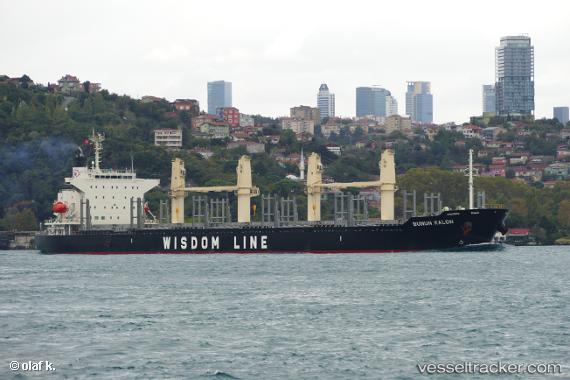
Vessel Bunun Kalon IMO: 9768033, MMSI: 371576000 Bulk Carrier
UTC, -14.76844, 64.76648, course: 57, speed: 11.2
UTC, -14.58018, 65.04658, course: 61, speed: 11.3
2026-02-27 13:22:25 UTC, -14.40162, 65.29222, course: 59, speed: 11.1
Live AIS position:
UTC. 335 nm N of Port Mathurin),
updated 2026-02-27 13:22:25 UTC.
Find the position of the vessel Bunun Kalon on the map. The latter are known coordinates and path.
marine traffic ship tracker show on live map
The current position of vessel Bunun Kalon is -14.40162 lat / 65.29222 lng. Updated: 2026-02-27 13:22:25 UTCCurrently sailing under the flag of Panama
Details:
Last coordinates of the vessel:
UTC, -15.01481, 64.40258, course: 59, speed: 11.4UTC, -14.76844, 64.76648, course: 57, speed: 11.2
UTC, -14.58018, 65.04658, course: 61, speed: 11.3
2026-02-27 13:22:25 UTC, -14.40162, 65.29222, course: 59, speed: 11.1