 vesseltracker.com
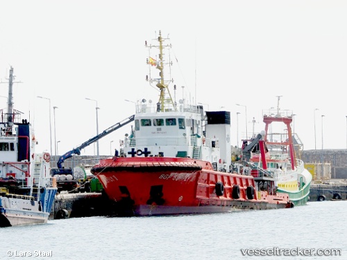
Vessel Dong Fang Kan Tan 3 IMO: 9576947, MMSI: 371583000 Tug
UTC, 27.87874, 49.46376, course: 152, speed: 7.7
UTC, 27.70549, 49.55699, course: 156, speed: 7.5
2026-02-27 21:22:08 UTC, 27.53869, 49.64518, course: 154, speed: 7.4
Live AIS position:
UTC. 20 nm E of Ras Al-Khair),
updated 2026-02-27 21:22:08 UTC.
Find the position of the vessel Dong Fang Kan Tan 3 on the map. The latter are known coordinates and path.
marine traffic ship tracker show on live map
The current position of vessel Dong Fang Kan Tan 3 is 27.53869 lat / 49.64518 lng. Updated: 2026-02-27 21:22:08 UTCDetails:
Last coordinates of the vessel:
UTC, 28.12781, 49.32878, course: 149, speed: 7.2UTC, 27.87874, 49.46376, course: 152, speed: 7.7
UTC, 27.70549, 49.55699, course: 156, speed: 7.5
2026-02-27 21:22:08 UTC, 27.53869, 49.64518, course: 154, speed: 7.4