 vesseltracker.com
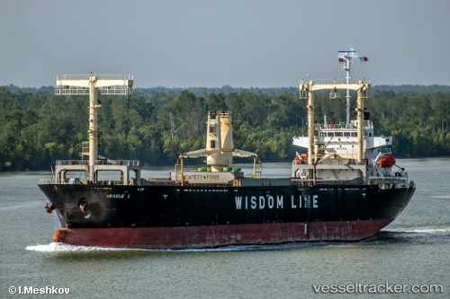
Vessel Timu IMO: 9333709, MMSI: 371617000 General Cargo Ship
UTC, 38.94654, 117.76466, course: 287, speed: 0
UTC, 38.88089, 117.98192, course: 108, speed: 10.5
2026-02-18 13:51:55 UTC, 38.88957, 118.06893, course: 193, speed: 0.1
Live AIS position:
UTC. Near Taku Bar),
updated 2026-02-18 13:51:55 UTC.
Find the position of the vessel Timu on the map. The latter are known coordinates and path.
marine traffic ship tracker show on live map
The current position of vessel Timu is 38.88957 lat / 118.06893 lng. Updated: 2026-02-18 13:51:55 UTCDetails:
Last coordinates of the vessel:
UTC, 38.94658, 117.76465, course: 286, speed: 0UTC, 38.94654, 117.76466, course: 287, speed: 0
UTC, 38.88089, 117.98192, course: 108, speed: 10.5
2026-02-18 13:51:55 UTC, 38.88957, 118.06893, course: 193, speed: 0.1