 vesseltracker.com
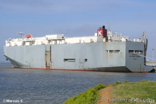
Vessel Colorado Highway IMO: 9323780, MMSI: 371641000 Vehicles Carrier
UTC, 33.05528, 127.10070, course: 251, speed: 15.2
UTC, 32.67665, 126.03808, course: 247, speed: 14.8
2026-02-18 04:18:54 UTC, 32.49963, 125.54635, course: 250, speed: 14.1
Live AIS position:
UTC. 59 nm SW of Hwasun),
updated 2026-02-18 04:18:54 UTC.
Find the position of the vessel Colorado Highway on the map. The latter are known coordinates and path.
marine traffic ship tracker show on live map
The current position of vessel Colorado Highway is 32.49963 lat / 125.54635 lng. Updated: 2026-02-18 04:18:54 UTCDetails:
Last coordinates of the vessel:
UTC, 33.10898, 127.24905, course: 251, speed: 15.6UTC, 33.05528, 127.10070, course: 251, speed: 15.2
UTC, 32.67665, 126.03808, course: 247, speed: 14.8
2026-02-18 04:18:54 UTC, 32.49963, 125.54635, course: 250, speed: 14.1