 vesseltracker.com
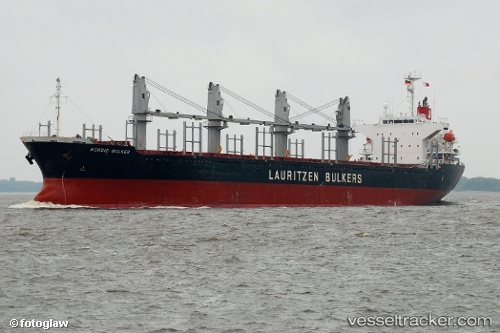
Vessel East Wind I IMO: 9278973, MMSI: 372077000 Bulk Carrier
UTC, 35.69833, -1.59333, course: -1, speed: 2
UTC, 35.73667, -1.47333, course: -1, speed: 4
2026-02-06 21:45:22 UTC, 35.76500, -1.41500, course: -1, speed: 2
Live AIS position:
UTC. 29 nm N of Benisaf),
updated 2026-02-06 21:45:22 UTC.
Find the position of the vessel East Wind I on the map. The latter are known coordinates and path.
marine traffic ship tracker show on live map
The current position of vessel East Wind I is 35.76500 lat / -1.41500 lng. Updated: 2026-02-06 21:45:22 UTCCurrently sailing under the flag of Panama
Details:
Last coordinates of the vessel:
UTC, 35.63667, -1.72333, course: -1, speed: 3UTC, 35.69833, -1.59333, course: -1, speed: 2
UTC, 35.73667, -1.47333, course: -1, speed: 4
2026-02-06 21:45:22 UTC, 35.76500, -1.41500, course: -1, speed: 2