 vesseltracker.com
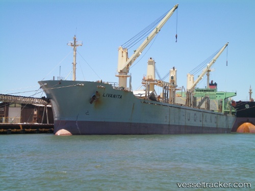
Vessel '372136000' IMO: 9146558, MMSI: 372136000
UTC, 38.96212, 118.10929, course: 339, speed: 0
UTC, 38.96214, 118.10951, course: 336, speed: 0.1
2026-01-20 00:26:45 UTC, 38.96230, 118.10979, course: 327, speed: 0
Live AIS position:
UTC. Near Taku Bar),
updated 2026-01-20 00:26:45 UTC.
Find the position of the vessel '372136000' on the map. The latter are known coordinates and path.
marine traffic ship tracker show on live map
The current position of vessel '372136000' is 38.96230 lat / 118.10979 lng. Updated: 2026-01-20 00:26:45 UTCDetails:
Last coordinates of the vessel:
UTC, 38.96207, 118.10929, course: 338, speed: 0.1UTC, 38.96212, 118.10929, course: 339, speed: 0
UTC, 38.96214, 118.10951, course: 336, speed: 0.1
2026-01-20 00:26:45 UTC, 38.96230, 118.10979, course: 327, speed: 0