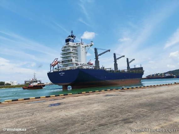
Mcc Cebu
Current StatusWhere is the vessel?
Mcc Cebu is currently in 151 nm W of Ranong Apt, based on AIS data received about 15h ago.
Latest AIS update:
Current position: 9.97166° N, 96.04333° E (151 nm W of Ranong Apt)
Average speed (last 7 days): Loading…
Average speed (last 30 days): Loading…
Vessel profile: Mcc Cebu is a Container Ship with dimensions 36m x 186m.
This page combines live AIS, route history, probable destination signals, nearby traffic, and port activity for practical vessel monitoring.
The current position of vessel Mcc Cebu is 9.97166 lat / 96.04333 lng. Updated: 2026-05-23 16:25:28 UTCNearest reference points:
- 175 nm W of Ranong Apt
- 126 nm S of Yetagun Field
- Near Phuket International Apt
Details:
Live Vessel Mcc Cebu Analytics (details, animations, etc.)
Recent AIS points (UTC):
2026-05-23 13:28:35 UTC · 10.60500, 95.78167 · SOG 13 kn · COG -1°2026-05-23 13:46:27 UTC · 10.54000, 95.80833 · SOG 13 kn · COG -1°
2026-05-23 16:04:28 UTC · 10.04667, 96.01167 · SOG 13 kn · COG -1°
2026-05-23 16:25:28 UTC · 9.97166, 96.04333 · SOG 13 kn · COG -1°