 vesseltracker.com
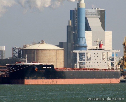
Vessel Cape Pride IMO: 9614907, MMSI: 373231000 Bulk Carrier
UTC, 25.20040, 132.90421, course: 335, speed: 12
UTC, 25.71068, 132.62524, course: 334, speed: 12.2
2026-02-23 12:03:28 UTC, 26.00563, 132.46600, course: 334, speed: 11.8
Live AIS position:
UTC. 63 nm E of Kitadaito Apt),
updated 2026-02-23 12:03:28 UTC.
Find the position of the vessel Cape Pride on the map. The latter are known coordinates and path.
marine traffic ship tracker show on live map
The current position of vessel Cape Pride is 26.00563 lat / 132.46600 lng. Updated: 2026-02-23 12:03:28 UTCDetails:
Last coordinates of the vessel:
UTC, 24.97514, 133.02782, course: 337, speed: 11.9UTC, 25.20040, 132.90421, course: 335, speed: 12
UTC, 25.71068, 132.62524, course: 334, speed: 12.2
2026-02-23 12:03:28 UTC, 26.00563, 132.46600, course: 334, speed: 11.8