 vesseltracker.com
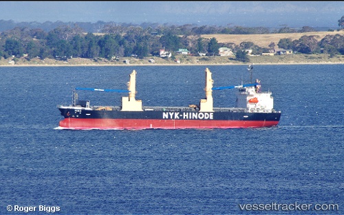
Vessel Miho IMO: 9640358, MMSI: 373372000 General Cargo Ship
UTC, 30.98697, -28.15909, course: 83, speed: 12
UTC, 31.02040, -27.78265, course: 83, speed: 12.4
2026-02-23 11:54:04 UTC, 31.06345, -27.25175, course: 85, speed: 12.1
Live AIS position:
UTC. 159 nm NE of Tarpon Springs),
updated 2026-02-23 11:54:04 UTC.
Find the position of the vessel Miho on the map. The latter are known coordinates and path.
marine traffic ship tracker show on live map
The current position of vessel Miho is 31.06345 lat / -27.25175 lng. Updated: 2026-02-23 11:54:04 UTCCurrently sailing under the flag of Panama
Miho built in 2012 year
Deadweight:
14017 tDetails:
Last coordinates of the vessel:
UTC, 30.94407, -28.69415, course: 85, speed: 12UTC, 30.98697, -28.15909, course: 83, speed: 12
UTC, 31.02040, -27.78265, course: 83, speed: 12.4
2026-02-23 11:54:04 UTC, 31.06345, -27.25175, course: 85, speed: 12.1