 vesseltracker.com
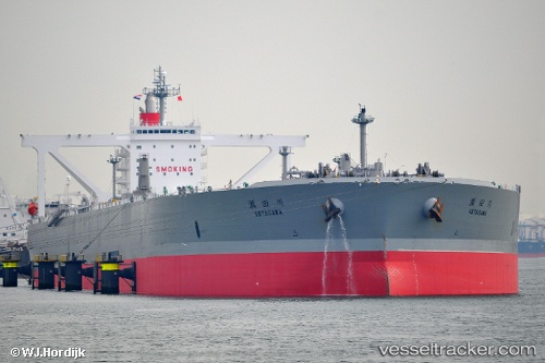
Vessel Setagawa IMO: 9391763, MMSI: 373604000 Crude Oil Tanker
UTC, 17.23667, 116.99167, course: -1, speed: 7
UTC, 17.32833, 117.09500, course: -1, speed: 6
2026-02-08 08:18:02 UTC, 17.55333, 117.35833, course: -1, speed: 7
Live AIS position:
UTC. 161 nm NW of Bolinao),
updated 2026-02-08 08:18:02 UTC.
Find the position of the vessel Setagawa on the map. The latter are known coordinates and path.
marine traffic ship tracker show on live map
The current position of vessel Setagawa is 17.55333 lat / 117.35833 lng. Updated: 2026-02-08 08:18:02 UTCDetails:
Last coordinates of the vessel:
UTC, 16.89223, 116.68060, course: 40, speed: 9.9UTC, 17.23667, 116.99167, course: -1, speed: 7
UTC, 17.32833, 117.09500, course: -1, speed: 6
2026-02-08 08:18:02 UTC, 17.55333, 117.35833, course: -1, speed: 7