 vesseltracker.com
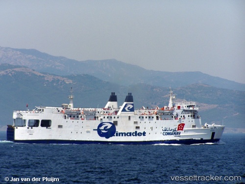
Vessel European Star IMO: 7813949, MMSI: 374081000 Passenger Ro Ro Cargo Ship
UTC, 40.53730, 18.84287, course: 282, speed: 12.5
UTC, 40.65627, 18.20933, course: 285, speed: 12.4
2026-02-07 17:42:33 UTC, 40.64812, 17.96207, course: 344, speed: 0
Live AIS position:
UTC. Near Porto Di Brindisi),
updated 2026-02-07 17:42:33 UTC.
Find the position of the vessel European Star on the map. The latter are known coordinates and path.
marine traffic ship tracker show on live map
The current position of vessel European Star is 40.64812 lat / 17.96207 lng. Updated: 2026-02-07 17:42:33 UTCDetails:
Last coordinates of the vessel:
UTC, 40.45605, 19.29715, course: 95, speed: 9.1UTC, 40.53730, 18.84287, course: 282, speed: 12.5
UTC, 40.65627, 18.20933, course: 285, speed: 12.4
2026-02-07 17:42:33 UTC, 40.64812, 17.96207, course: 344, speed: 0