 vesseltracker.com
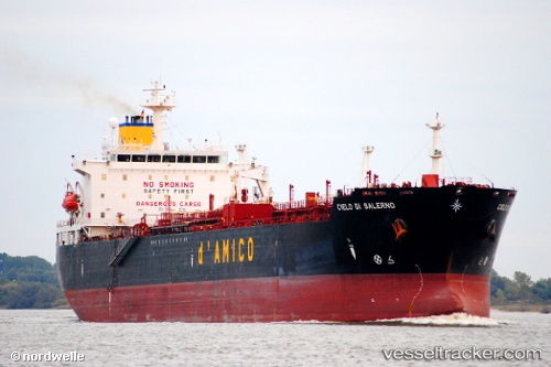
Vessel Sw Cap Ferrat 1 IMO: 9231614, MMSI: 374419000 Chemical Oil Products Tanker
UTC, 5.85032, 89.40655, course: 86, speed: 11.6
UTC, 5.86963, 89.78327, course: 87, speed: 10.9
2026-03-03 16:10:26 UTC, 5.89249, 90.16392, course: 86, speed: 11.8
Live AIS position:
UTC. 250 nm E of Abakaliki),
updated 2026-03-03 16:10:26 UTC.
Find the position of the vessel Sw Cap Ferrat 1 on the map. The latter are known coordinates and path.
marine traffic ship tracker show on live map
The current position of vessel Sw Cap Ferrat 1 is 5.89249 lat / 90.16392 lng. Updated: 2026-03-03 16:10:26 UTCCurrently sailing under the flag of Panama
Sw Cap Ferrat 1 built in 2002 year
Deadweight:
36031 tDetails:
Last coordinates of the vessel:
UTC, 5.82470, 88.94870, course: 86, speed: 11.3UTC, 5.85032, 89.40655, course: 86, speed: 11.6
UTC, 5.86963, 89.78327, course: 87, speed: 10.9
2026-03-03 16:10:26 UTC, 5.89249, 90.16392, course: 86, speed: 11.8