 vesseltracker.com
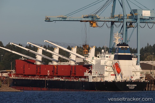
Vessel Donna Judi IMO: 9519171, MMSI: 376686000 Bulk Carrier
UTC, 32.13833, 19.95823, course: 296, speed: 0.3
UTC, 32.13817, 19.95820, course: 302, speed: 0.3
2026-02-13 04:10:11 UTC, 32.13727, 19.94704, course: 300, speed: 4.2
Live AIS position:
UTC. Near BENGHAZI),
updated 2026-02-13 04:10:11 UTC.
Find the position of the vessel Donna Judi on the map. The latter are known coordinates and path.
marine traffic ship tracker show on live map
The current position of vessel Donna Judi is 32.13727 lat / 19.94704 lng. Updated: 2026-02-13 04:10:11 UTCCurrently sailing under the flag of Saint Vincent and the Grenadines
Details:
Last coordinates of the vessel:
UTC, 32.13850, 19.95829, course: 296, speed: 0UTC, 32.13833, 19.95823, course: 296, speed: 0.3
UTC, 32.13817, 19.95820, course: 302, speed: 0.3
2026-02-13 04:10:11 UTC, 32.13727, 19.94704, course: 300, speed: 4.2