 vesseltracker.com
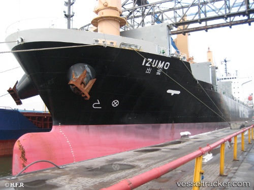
Vessel Virgo IMO: 9137569, MMSI: 377751000 Container Ship
UTC, 12.45049, 43.81471, course: 294, speed: 14.4
UTC, 12.72565, 43.30172, course: 340, speed: 14.2
2026-02-26 13:29:07 UTC, 13.24889, 43.04350, course: 312, speed: 14.7
Live AIS position:
UTC. 12 nm SW of Al Mukha),
updated 2026-02-26 13:29:07 UTC.
Find the position of the vessel Virgo on the map. The latter are known coordinates and path.
marine traffic ship tracker show on live map
The current position of vessel Virgo is 13.24889 lat / 43.04350 lng. Updated: 2026-02-26 13:29:07 UTCCurrently sailing under the flag of St Vincent Grenadines
Virgo built in 1997 year
Deadweight:
24382 tDetails:
Last coordinates of the vessel:
UTC, 12.20032, 44.40719, course: 297, speed: 15.1UTC, 12.45049, 43.81471, course: 294, speed: 14.4
UTC, 12.72565, 43.30172, course: 340, speed: 14.2
2026-02-26 13:29:07 UTC, 13.24889, 43.04350, course: 312, speed: 14.7