 vesseltracker.com
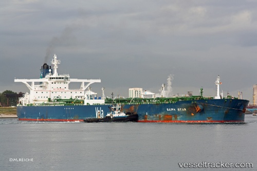
Vessel Karan IMO: 9384239, MMSI: 403571000 Crude Oil Tanker
UTC, 10.85822, 71.10590, course: 325, speed: 13.8
UTC, 11.49887, 70.58152, course: 317, speed: 13.9
2026-02-25 13:01:38 UTC, 11.71215, 70.38440, course: 317, speed: 13.8
Live AIS position:
UTC. 143 nm W of Amini Island),
updated 2026-02-25 13:01:38 UTC.
Find the position of the vessel Karan on the map. The latter are known coordinates and path.
marine traffic ship tracker show on live map
The current position of vessel Karan is 11.71215 lat / 70.38440 lng. Updated: 2026-02-25 13:01:38 UTCDetails:
Last coordinates of the vessel:
UTC, 10.70125, 71.23063, course: 318, speed: 13.9UTC, 10.85822, 71.10590, course: 325, speed: 13.8
UTC, 11.49887, 70.58152, course: 317, speed: 13.9
2026-02-25 13:01:38 UTC, 11.71215, 70.38440, course: 317, speed: 13.8