 vesseltracker.com
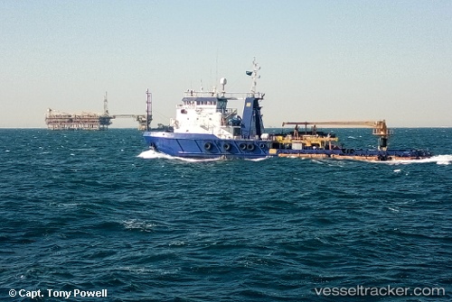
Vessel Ain Dar 3 IMO: 8314328, MMSI: 403700010 Pollution Control Vessel
UTC, 26.86244, 49.90745, course: 19, speed: 0
UTC, 26.86247, 49.90745, course: 19, speed: 0
2026-02-28 03:37:27 UTC, 26.95414, 50.07139, course: 114, speed: 0.8
Live AIS position:
UTC. 19 nm N of Ras Tannurah),
updated 2026-02-28 03:37:27 UTC.
Find the position of the vessel Ain Dar 3 on the map. The latter are known coordinates and path.
marine traffic ship tracker show on live map
The current position of vessel Ain Dar 3 is 26.95414 lat / 50.07139 lng. Updated: 2026-02-28 03:37:27 UTCDetails:
Last coordinates of the vessel:
UTC, 26.86248, 49.90746, course: -1, speed: 0UTC, 26.86244, 49.90745, course: 19, speed: 0
UTC, 26.86247, 49.90745, course: 19, speed: 0
2026-02-28 03:37:27 UTC, 26.95414, 50.07139, course: 114, speed: 0.8