 vesseltracker.com
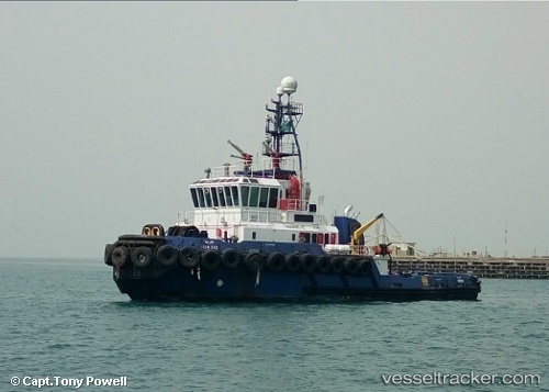
Vessel Juraid IMO: 9079389, MMSI: 403701410 Tug
UTC, 26.63422, 50.15550, course: 322, speed: 0
UTC, 26.63426, 50.15556, course: 322, speed: 0
2026-02-03 09:55:15 UTC, 26.63333, 50.15500, course: -1, speed: 0
Live AIS position:
UTC. Near Ras Tannurah),
updated 2026-02-03 09:55:15 UTC.
Find the position of the vessel Juraid on the map. The latter are known coordinates and path.
marine traffic ship tracker show on live map
The current position of vessel Juraid is 26.63333 lat / 50.15500 lng. Updated: 2026-02-03 09:55:15 UTCDetails:
Last coordinates of the vessel:
UTC, 26.63420, 50.15554, course: 322, speed: 0UTC, 26.63422, 50.15550, course: 322, speed: 0
UTC, 26.63426, 50.15556, course: 322, speed: 0
2026-02-03 09:55:15 UTC, 26.63333, 50.15500, course: -1, speed: 0