 vesseltracker.com
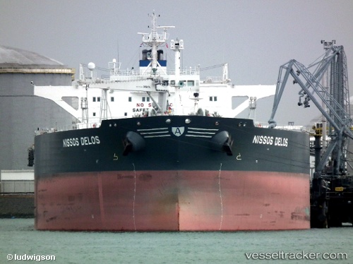
Vessel OMERA GALAXY IMO: 9592305, MMSI: 405000433 Crude Oil Tanker
UTC, 21.79096, 91.69471, course: -1, speed: 0
UTC, 21.79084, 91.69536, course: -1, speed: 0
2026-02-28 03:15:58 UTC, 21.79069, 91.69559, course: -1, speed: 0
Live AIS position:
UTC. 27 nm NW of Cox's Bazar),
updated 2026-02-28 03:15:58 UTC.
Find the position of the vessel OMERA GALAXY on the map. The latter are known coordinates and path.
marine traffic ship tracker show on live map
The current position of vessel OMERA GALAXY is 21.79069 lat / 91.69559 lng. Updated: 2026-02-28 03:15:58 UTCCurrently sailing under the flag of Bangladesh
Details:
Last coordinates of the vessel:
UTC, 21.78663, 91.69380, course: 31, speed: 0.2UTC, 21.79096, 91.69471, course: -1, speed: 0
UTC, 21.79084, 91.69536, course: -1, speed: 0
2026-02-28 03:15:58 UTC, 21.79069, 91.69559, course: -1, speed: 0