 vesseltracker.com
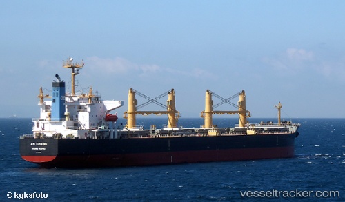
Vessel An Chang IMO: 9407861, MMSI: 412349000 Bulk Carrier
UTC, 21.65464, 113.79820, course: 203, speed: 12.5
UTC, 21.43039, 113.68281, course: 179, speed: 11.6
2026-01-30 14:01:18 UTC, 20.99667, 113.48333, course: -1, speed: 12
Live AIS position:
UTC. 53 nm SE of Shadi),
updated 2026-01-30 14:01:18 UTC.
Find the position of the vessel An Chang on the map. The latter are known coordinates and path.
marine traffic ship tracker show on live map
The current position of vessel An Chang is 20.99667 lat / 113.48333 lng. Updated: 2026-01-30 14:01:18 UTCCurrently sailing under the flag of China
Details:
Last coordinates of the vessel:
UTC, 22.06765, 113.83578, course: 155, speed: 11.2UTC, 21.65464, 113.79820, course: 203, speed: 12.5
UTC, 21.43039, 113.68281, course: 179, speed: 11.6
2026-01-30 14:01:18 UTC, 20.99667, 113.48333, course: -1, speed: 12