 vesseltracker.com
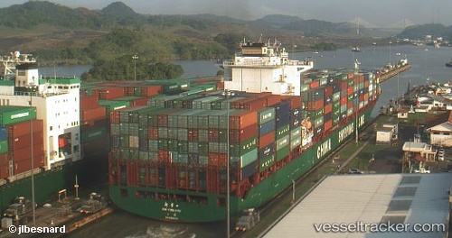
Vessel Xin Ying Kou IMO: 9312585, MMSI: 413151000 Container Ship
UTC, 29.55258, 122.68149, course: 358, speed: 0.1
UTC, 29.55255, 122.68118, course: 6, speed: 0.3
2026-02-18 06:19:12 UTC, 29.55253, 122.68106, course: 3, speed: 0
Live AIS position:
UTC. 35 nm SE of ZHOUSHAN),
updated 2026-02-18 06:19:12 UTC.
Find the position of the vessel Xin Ying Kou on the map. The latter are known coordinates and path.
marine traffic ship tracker show on live map
The current position of vessel Xin Ying Kou is 29.55253 lat / 122.68106 lng. Updated: 2026-02-18 06:19:12 UTCDetails:
Last coordinates of the vessel:
UTC, 29.55259, 122.68108, course: 10, speed: 0UTC, 29.55258, 122.68149, course: 358, speed: 0.1
UTC, 29.55255, 122.68118, course: 6, speed: 0.3
2026-02-18 06:19:12 UTC, 29.55253, 122.68106, course: 3, speed: 0