 vesseltracker.com
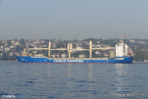
Vessel Ping An Song IMO: 9608946, MMSI: 413471950 Multi Purpose Carrier
UTC, -11.90613, 48.05261, course: 253, speed: 11.5
UTC, -11.99500, 47.79667, course: -1, speed: 11
2026-02-27 05:49:33 UTC, -12.11167, 47.47333, course: -1, speed: 11
Live AIS position:
UTC. 86 nm NW of Nosy-Be),
updated 2026-02-27 05:49:33 UTC.
Find the position of the vessel Ping An Song on the map. The latter are known coordinates and path.
marine traffic ship tracker show on live map
The current position of vessel Ping An Song is -12.11167 lat / 47.47333 lng. Updated: 2026-02-27 05:49:33 UTCDetails:
Last coordinates of the vessel:
UTC, -11.75667, 48.45667, course: -1, speed: 10UTC, -11.90613, 48.05261, course: 253, speed: 11.5
UTC, -11.99500, 47.79667, course: -1, speed: 11
2026-02-27 05:49:33 UTC, -12.11167, 47.47333, course: -1, speed: 11