 vesseltracker.com
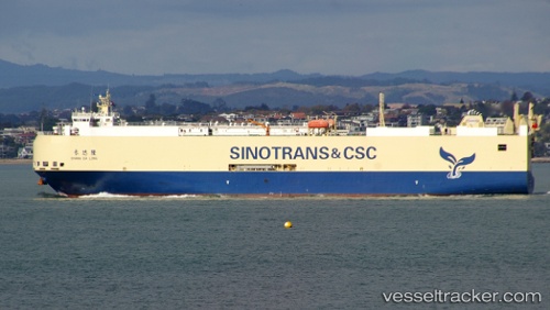
Vessel Chang Da Long IMO: 9471197, MMSI: 413473010 Vehicles Carrier
UTC, 25.84552, 55.39651, course: 53, speed: 12.9
UTC, 25.97387, 55.58419, course: 54, speed: 13
2026-02-11 10:14:36 UTC, 26.30634, 56.01071, course: 43, speed: 12.7
Live AIS position:
UTC. 14 nm NW of KHASAB),
updated 2026-02-11 10:14:36 UTC.
Find the position of the vessel Chang Da Long on the map. The latter are known coordinates and path.
marine traffic ship tracker show on live map
The current position of vessel Chang Da Long is 26.30634 lat / 56.01071 lng. Updated: 2026-02-11 10:14:36 UTCCurrently sailing under the flag of China
Chang Da Long built in 2012 year
Deadweight:
5837 tDetails:
Last coordinates of the vessel:
UTC, 25.56324, 54.85801, course: 66, speed: 13.1UTC, 25.84552, 55.39651, course: 53, speed: 12.9
UTC, 25.97387, 55.58419, course: 54, speed: 13
2026-02-11 10:14:36 UTC, 26.30634, 56.01071, course: 43, speed: 12.7