 vesseltracker.com
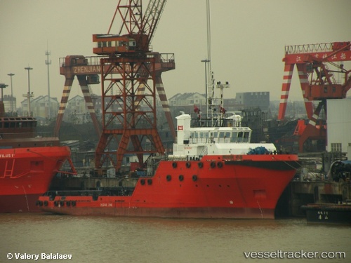
Vessel Hua Kun IMO: 9513957, MMSI: 413475990 Offshore Tug Supply Ship
UTC, 20.79167, 115.75833, course: -1, speed: 1
UTC, 20.80167, 115.74167, course: -1, speed: 0
2026-01-31 17:50:06 UTC, 20.81333, 115.74500, course: -1, speed: 0
Live AIS position:
UTC. 57 nm SE of Xijiang),
updated 2026-01-31 17:50:06 UTC.
Find the position of the vessel Hua Kun on the map. The latter are known coordinates and path.
marine traffic ship tracker show on live map
The current position of vessel Hua Kun is 20.81333 lat / 115.74500 lng. Updated: 2026-01-31 17:50:06 UTCDetails:
Last coordinates of the vessel:
UTC, 20.79667, 115.74667, course: -1, speed: 0UTC, 20.79167, 115.75833, course: -1, speed: 1
UTC, 20.80167, 115.74167, course: -1, speed: 0
2026-01-31 17:50:06 UTC, 20.81333, 115.74500, course: -1, speed: 0