 vesseltracker.com
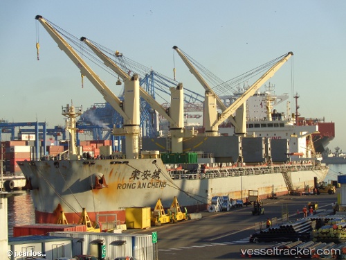
Vessel RONG AN CHENG IMO: 9742950, MMSI: 413532040 Cargo D
UTC, 28.34334, 145.55440, course: 278, speed: 11.1
UTC, 28.37054, 145.14217, course: 273, speed: 11.4
2026-02-28 23:43:03 UTC, 28.39247, 144.75174, course: 270, speed: 11.6
Live AIS position:
UTC. 158 nm NE of Omura),
updated 2026-02-28 23:43:03 UTC.
Find the position of the vessel RONG AN CHENG on the map. The latter are known coordinates and path.
marine traffic ship tracker show on live map
The current position of vessel RONG AN CHENG is 28.39247 lat / 144.75174 lng. Updated: 2026-02-28 23:43:03 UTCCurrently sailing under the flag of China
Details:
Last coordinates of the vessel:
UTC, 28.31949, 145.92319, course: 277, speed: 11.7UTC, 28.34334, 145.55440, course: 278, speed: 11.1
UTC, 28.37054, 145.14217, course: 273, speed: 11.4
2026-02-28 23:43:03 UTC, 28.39247, 144.75174, course: 270, speed: 11.6