 vesseltracker.com
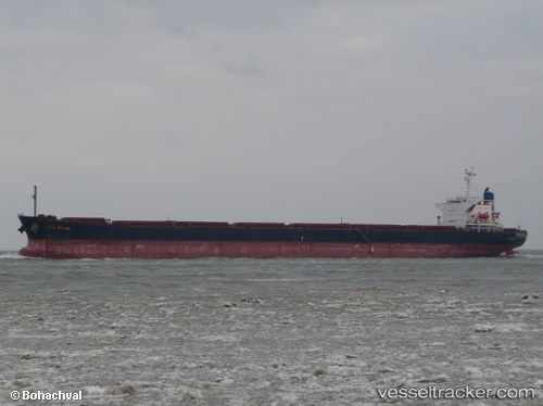
Vessel Runtong6 IMO: 9205847, MMSI: 414301000 Bulk Carrier
UTC, 39.49374, 120.03342, course: 134, speed: 10.5
UTC, 39.20312, 120.35860, course: 134, speed: 10.3
2026-03-01 00:14:00 UTC, 39.14088, 120.42799, course: 135, speed: 10.4
Live AIS position:
UTC. 45 nm NW of Lushun New Pt),
updated 2026-03-01 00:14:00 UTC.
Find the position of the vessel Runtong6 on the map. The latter are known coordinates and path.
marine traffic ship tracker show on live map
The current position of vessel Runtong6 is 39.14088 lat / 120.42799 lng. Updated: 2026-03-01 00:14:00 UTCDetails:
Last coordinates of the vessel:
UTC, 39.72790, 119.81224, course: 146, speed: 10.2UTC, 39.49374, 120.03342, course: 134, speed: 10.5
UTC, 39.20312, 120.35860, course: 134, speed: 10.3
2026-03-01 00:14:00 UTC, 39.14088, 120.42799, course: 135, speed: 10.4