 vesseltracker.com
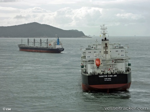
Vessel PU AN TONG IMO: 9593763, MMSI: 414873000 Cargo
UTC, 8.31750, -14.24800, course: 344, speed: 11.8
UTC, 8.70933, -14.34650, course: 341, speed: 12
2026-02-28 05:51:34 UTC, 9.15533, -14.47156, course: 345, speed: 11.5
Live AIS position:
UTC. 49 nm SW of Conakry),
updated 2026-02-28 05:51:34 UTC.
Find the position of the vessel PU AN TONG on the map. The latter are known coordinates and path.
marine traffic ship tracker show on live map
The current position of vessel PU AN TONG is 9.15533 lat / -14.47156 lng. Updated: 2026-02-28 05:51:34 UTCCurrently sailing under the flag of China
Details:
Last coordinates of the vessel:
UTC, 7.92983, -14.15650, course: 346, speed: 11.6UTC, 8.31750, -14.24800, course: 344, speed: 11.8
UTC, 8.70933, -14.34650, course: 341, speed: 12
2026-02-28 05:51:34 UTC, 9.15533, -14.47156, course: 345, speed: 11.5