 vesseltracker.com
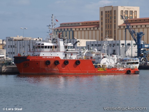
Vessel Maria IMO: 9429596, MMSI: 419001106 Offshore Tug Supply Ship
UTC, 18.93909, 72.86137, course: 8, speed: 0
UTC, 18.93958, 72.86141, course: 215, speed: 0
2026-01-23 19:01:56 UTC, 18.93961, 72.86139, course: 183, speed: 0
Live AIS position:
UTC. Near Mumbai),
updated 2026-01-23 19:01:56 UTC.
Find the position of the vessel Maria on the map. The latter are known coordinates and path.
marine traffic ship tracker show on live map
The current position of vessel Maria is 18.93961 lat / 72.86139 lng. Updated: 2026-01-23 19:01:56 UTCDetails:
Last coordinates of the vessel:
UTC, 19.40100, 72.54229, course: 154, speed: 0.8UTC, 18.93909, 72.86137, course: 8, speed: 0
UTC, 18.93958, 72.86141, course: 215, speed: 0
2026-01-23 19:01:56 UTC, 18.93961, 72.86139, course: 183, speed: 0