 vesseltracker.com
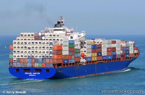
Vessel '419001618' IMO: 9305635, MMSI: 419001618
UTC, 25.52298, 54.96660, course: 255, speed: 0
UTC, 25.52254, 54.96665, course: 271, speed: 0
2026-02-05 11:30:46 UTC, 25.52292, 54.96658, course: 253, speed: 0
Live AIS position:
UTC. 21 nm S of Abu Musa),
updated 2026-02-05 11:30:46 UTC.
Find the position of the vessel '419001618' on the map. The latter are known coordinates and path.
marine traffic ship tracker show on live map
The current position of vessel '419001618' is 25.52292 lat / 54.96658 lng. Updated: 2026-02-05 11:30:46 UTCDetails:
Last coordinates of the vessel:
UTC, 25.52277, 54.96663, course: 265, speed: 0UTC, 25.52298, 54.96660, course: 255, speed: 0
UTC, 25.52254, 54.96665, course: 271, speed: 0
2026-02-05 11:30:46 UTC, 25.52292, 54.96658, course: 253, speed: 0