 vesseltracker.com
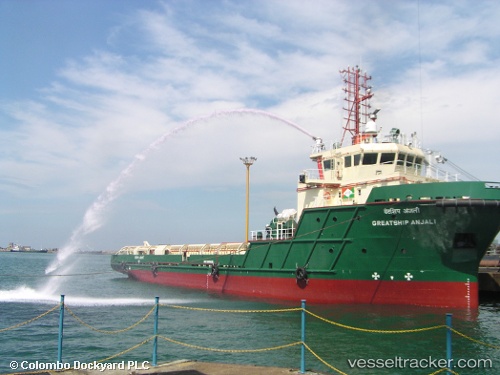
Vessel Greatship Anjali IMO: 9408425, MMSI: 419702000 Offshore Tug Supply Ship
UTC, 20.83167, 71.88167, course: -1, speed: 1
UTC, 20.81795, 71.77036, course: -1, speed: 4.4
2026-02-28 09:24:43 UTC, 20.82041, 71.66614, course: -1, speed: 2.2
Live AIS position:
UTC. 11 nm SE of Port Pipavav),
updated 2026-02-28 09:24:43 UTC.
Find the position of the vessel Greatship Anjali on the map. The latter are known coordinates and path.
marine traffic ship tracker show on live map
The current position of vessel Greatship Anjali is 20.82041 lat / 71.66614 lng. Updated: 2026-02-28 09:24:43 UTCDetails:
Last coordinates of the vessel:
UTC, 20.80376, 71.84058, course: -1, speed: 0.4UTC, 20.83167, 71.88167, course: -1, speed: 1
UTC, 20.81795, 71.77036, course: -1, speed: 4.4
2026-02-28 09:24:43 UTC, 20.82041, 71.66614, course: -1, speed: 2.2