 vesseltracker.com
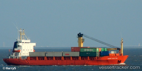
Vessel Shoja 2 IMO: 8318075, MMSI: 422038200 General Cargo Ship
UTC, 25.51875, 55.36659, course: -1, speed: 0
UTC, 25.51889, 55.36658, course: -1, speed: 0
2026-02-03 03:56:16 UTC, 25.51981, 55.36698, course: -1, speed: 0
Live AIS position:
UTC. Near HAMRIYA),
updated 2026-02-03 03:56:16 UTC.
Find the position of the vessel Shoja 2 on the map. The latter are known coordinates and path.
marine traffic ship tracker show on live map
The current position of vessel Shoja 2 is 25.51981 lat / 55.36698 lng. Updated: 2026-02-03 03:56:16 UTCDetails:
Last coordinates of the vessel:
UTC, 25.51871, 55.36663, course: -1, speed: 0UTC, 25.51875, 55.36659, course: -1, speed: 0
UTC, 25.51889, 55.36658, course: -1, speed: 0
2026-02-03 03:56:16 UTC, 25.51981, 55.36698, course: -1, speed: 0