 vesseltracker.com
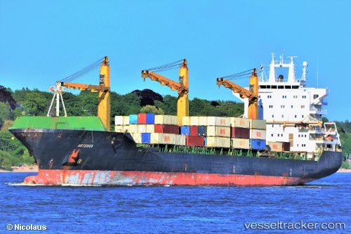
Vessel Artenos IMO: 9283021, MMSI: 422039200 Container Ship
UTC, 5.72928, 97.17743, course: 286, speed: 10.9
UTC, 5.80554, 96.90060, course: 290, speed: 11
2026-02-07 06:06:22 UTC, 5.93919, 96.43496, course: 287, speed: 10.7
Live AIS position:
UTC. 55 nm NW of Krueng Geukueh),
updated 2026-02-07 06:06:22 UTC.
Find the position of the vessel Artenos on the map. The latter are known coordinates and path.
marine traffic ship tracker show on live map
The current position of vessel Artenos is 5.93919 lat / 96.43496 lng. Updated: 2026-02-07 06:06:22 UTCDetails:
Last coordinates of the vessel:
UTC, 5.61592, 97.54923, course: 288, speed: 10.9UTC, 5.72928, 97.17743, course: 286, speed: 10.9
UTC, 5.80554, 96.90060, course: 290, speed: 11
2026-02-07 06:06:22 UTC, 5.93919, 96.43496, course: 287, speed: 10.7