 vesseltracker.com
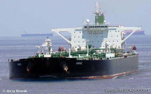
Vessel Amber IMO: 9357406, MMSI: 422215900 Vehicles Carrier
UTC, 5.54872, 98.42979, course: 316, speed: 14.8
UTC, 5.55110, 98.42744, course: 316, speed: 14.8
2026-02-03 23:30:42 UTC, 5.55110, 98.42744, course: 316, speed: 14.8
Live AIS position:
UTC. 27 nm NE of Langsa Venture FPSO),
updated 2026-02-03 23:30:42 UTC.
Find the position of the vessel Amber on the map. The latter are known coordinates and path.
marine traffic ship tracker show on live map
The current position of vessel Amber is 5.55110 lat / 98.42744 lng. Updated: 2026-02-03 23:30:42 UTCDetails:
Last coordinates of the vessel:
UTC, 5.21678, 98.75487, course: 315, speed: 14.3UTC, 5.54872, 98.42979, course: 316, speed: 14.8
UTC, 5.55110, 98.42744, course: 316, speed: 14.8
2026-02-03 23:30:42 UTC, 5.55110, 98.42744, course: 316, speed: 14.8