 vesseltracker.com
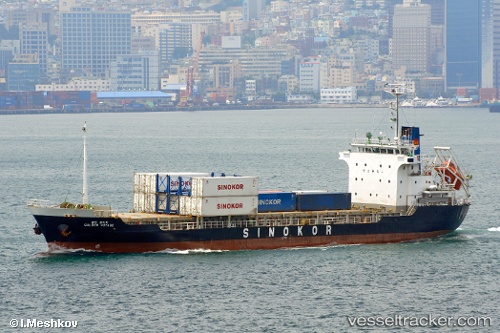
Vessel BINA IMO: 9056739, MMSI: 422966500 Container Ship
UTC, 27.56281, 52.49538, course: -1, speed: 0
UTC, 27.56281, 52.49538, course: -1, speed: 0
2026-03-01 00:10:27 UTC, 27.56279, 52.49537, course: -1, speed: 0
Live AIS position:
UTC. Near ASALUYEH),
updated 2026-03-01 00:10:27 UTC.
Find the position of the vessel BINA on the map. The latter are known coordinates and path.
marine traffic ship tracker show on live map
The current position of vessel BINA is 27.56279 lat / 52.49537 lng. Updated: 2026-03-01 00:10:27 UTCCurrently sailing under the flag of Iran
Details:
Last coordinates of the vessel:
UTC, 27.56279, 52.49538, course: -1, speed: 1.2UTC, 27.56281, 52.49538, course: -1, speed: 0
UTC, 27.56281, 52.49538, course: -1, speed: 0
2026-03-01 00:10:27 UTC, 27.56279, 52.49537, course: -1, speed: 0